


|
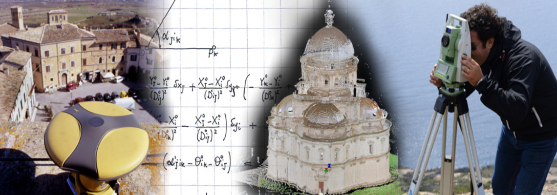
The Geomatics area of DI conducts research and teaching activity in the following fields :
Physical, geometric and spatial Geodesy; Cartography, mapping, spatial databases and geographic information systems (GIS); Topography and surveying; Precision satellite positioning; Satellite, inertial and integrated (multi-sensor) navigation; Deformation monitoring of soil surface, structures and infrastructures; Digital photogrammetry (aerial and terrestrial); Laser scanning (aerial and terrestrial); Remote sensing.
The scientific contents refer to the acquisition, processing, restitution, analysis and management of metric or thematic data relating to the Earth surface or portions of it, including urban environment, infrastructures and architectural heritage, identified by their spatial position and qualified by the high metric accuracy of the survey.
The range of applications is very wide and involves, in particular: the global and local reference systems, the global and local terrestrial gravity field, the instruments and methods of surveying, control and monitoring of land, structures, infrastructures and cultural heritage, the observation data treatment, the production and updating of maps and spatial databases, the tracking of works and infrastructures, the mobile surveying and mapping systems, the numerical models of terrain and surfaces, the management and sharing of geographic multidimensional and multi-temporal information, the control of fleets and the assisted or automated guide of work machines and agricultural machinery.
|
|
Members
|
Surveying and mapping - ICAR/06
- Details
- Written by Francesca Tufi